12th National Census: Preliminary report to include Kuti, Gunji and Nabhi villages in Darchula

By Narayan Dhungana, Kathmandu, Nov 30: The preliminary report of the 12th National Census (November 11-25, 2021) is likely to be unveiled within the next three months.
The document is to incorporate details concerning Lipulek, Limpiyadhura and Kalapani as well.
Though the Central Bureau of Statistics could not ensure the census in the above-mentioned areas being physically present, it is to feature the details of households and demographic size of the areas by using alternative methods.
According to Bureau director-general Nebinlal Shrestha, they tried diplomatic efforts to reach Limpiyadhura, Kalapani and Lipulek physically for the collection of details, but not possible. Now, the collection of details has begun with the use of technology and the Bureau has the cooperation from locals for the same.
As he explained, people only reside in Kuti, Nabhi and Gunji villages in the region. It is estimated that around 300 households are there and the expected population is a maximum of 800. In winter, the locals make way downhill to avoid cold, they would possibly have meetings with the people of Chhangru and Tinkar in Darchula and could be connected by phone calls. As the Bureau said, the tracking of households is possible through the use of a satellite.
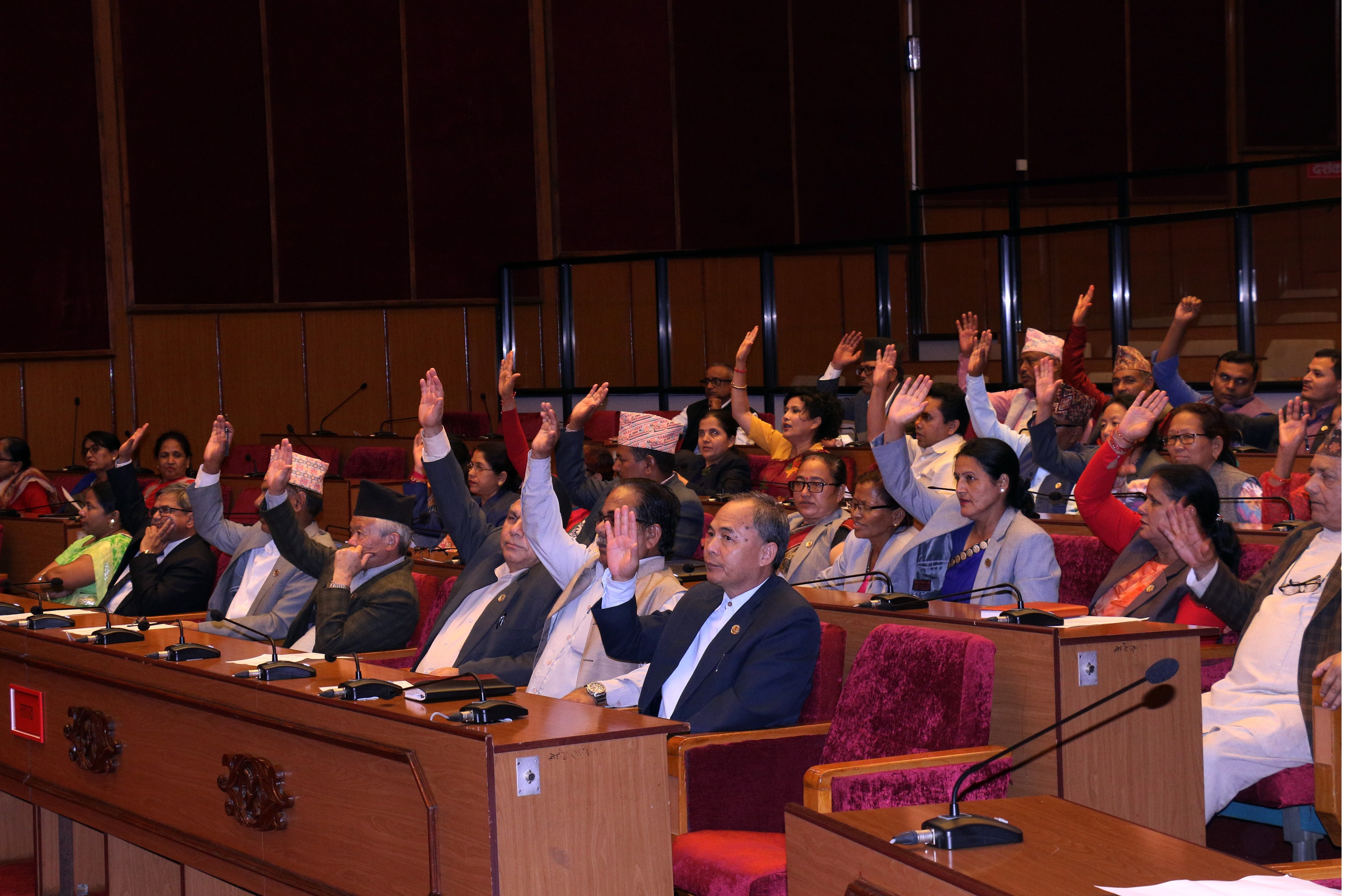
The government had on May 18, 2020, issued a new administrative map incorporating Lipulek, Limpiyadhura and Kalapani areas in Darchula on the basis of various facts and evidence and after various rounds of discussions. The parliament on June 13, 2020, ratified this new map with an overwhelming majority of votes and with this decision the areas which India had been occupying were officially included for the first time in Nepal's map. The Coat-of-Arms was amended accordingly.
So, the latest National Census is the first census after incorporating the territories in the map of Nepal and so it has been seen with significance.
It is indicated in the map made public in 1827 by the British Surveyor of India that Kalapani is Nepal's westernmost border. Surveyors and cartographers claim that the map released by the British Surveyor of India clearly shows that the Kali River that originates from Limpiyadhura marks Nepal's westernmost border with India. Kalapani and Lipulek areas lie to the east of this river.
Experts say that in recent times, India has named a stream flowing down from Lipulek as the Kali river and encroached upon that whole area east of the Kali river that flows down from the Limpiyadhura.
According to historians, the then Nepal government in the past had allowed India to station its security force in the area at the latter's request for defending its territories from the Chinese, and since that time India has continued to occupy Nepal's territories.
Senior geographer and a scholar on border matters Buddhi Narayan Shrestha asserted that every document before 1860 established that the Kali river originating from Limpiyadhura is the original Kali river. According to him, India has captured the Nepali territories by publishing maps after that time naming the stream that flows down the Lipulek as the Kali river.
The Central Bureau of Statistics which conducted the National Census stated that the data from these territories could not be directly collected for the Census due to various difficulties but it has started counting the population through several other means.
The main census task of the 12th National Census concluded on November 25. The National Census was initiated on November 11.
Recent News
Do not make expressions casting dout on election: EC
14 Apr, 2022
CM Bhatta says may New Year 2079 BS inspire positive thinking
14 Apr, 2022
Three new cases, 44 recoveries in 24 hours
14 Apr, 2022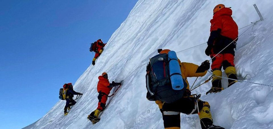
689 climbers of 84 teams so far acquire permits for climbing various peaks this spring season
14 Apr, 2022
How the rising cost of living crisis is impacting Nepal
14 Apr, 2022
US military confirms an interstellar meteor collided with Earth
14 Apr, 2022
Valneva Covid vaccine approved for use in UK
14 Apr, 2022
Chair Prachanda highlights need of unity among Maoist, Communist forces
14 Apr, 2022
Ranbir Kapoor and Alia Bhatt: Bollywood toasts star couple on wedding
14 Apr, 2022
President Bhandari confers decorations (Photo Feature)
14 Apr, 2022
