Nepal to publish new political map that includes Kalapani, Limpiyadhura area

By TRN Online, Kathmandu, May 18: The meeting of the Council of Ministers held today at the Prime Minister's official residence, Baluwatar, has approved new political map of Nepal which includes Kalapani and Limpiyadhura area in the far western region.
"The updated political map proposed by Ministry of Land Management, Cooperatives and Poverty Alleviation has been approved by the government," said Dr Yubaraj Khatiwada, spokesperson of the government and Minister for Finance, Communications and Information Technology, at a press briefing after the Cabinet meeting.
He said that the updated political map also includes porivincial and local levels as per the federal system of the country.
The government had decided to issue a new political map after India 'inaugurated' the link road to China which passes through Nepali territory in Lipu lekh and Limpiyadhura.
Recent News
Do not make expressions casting dout on election: EC
14 Apr, 2022
CM Bhatta says may New Year 2079 BS inspire positive thinking
14 Apr, 2022
Three new cases, 44 recoveries in 24 hours
14 Apr, 2022
689 climbers of 84 teams so far acquire permits for climbing various peaks this spring season
14 Apr, 2022
How the rising cost of living crisis is impacting Nepal
14 Apr, 2022
US military confirms an interstellar meteor collided with Earth
14 Apr, 2022
Valneva Covid vaccine approved for use in UK
14 Apr, 2022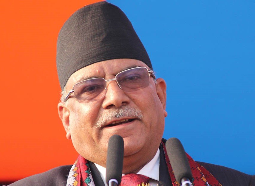
Chair Prachanda highlights need of unity among Maoist, Communist forces
14 Apr, 2022
Ranbir Kapoor and Alia Bhatt: Bollywood toasts star couple on wedding
14 Apr, 2022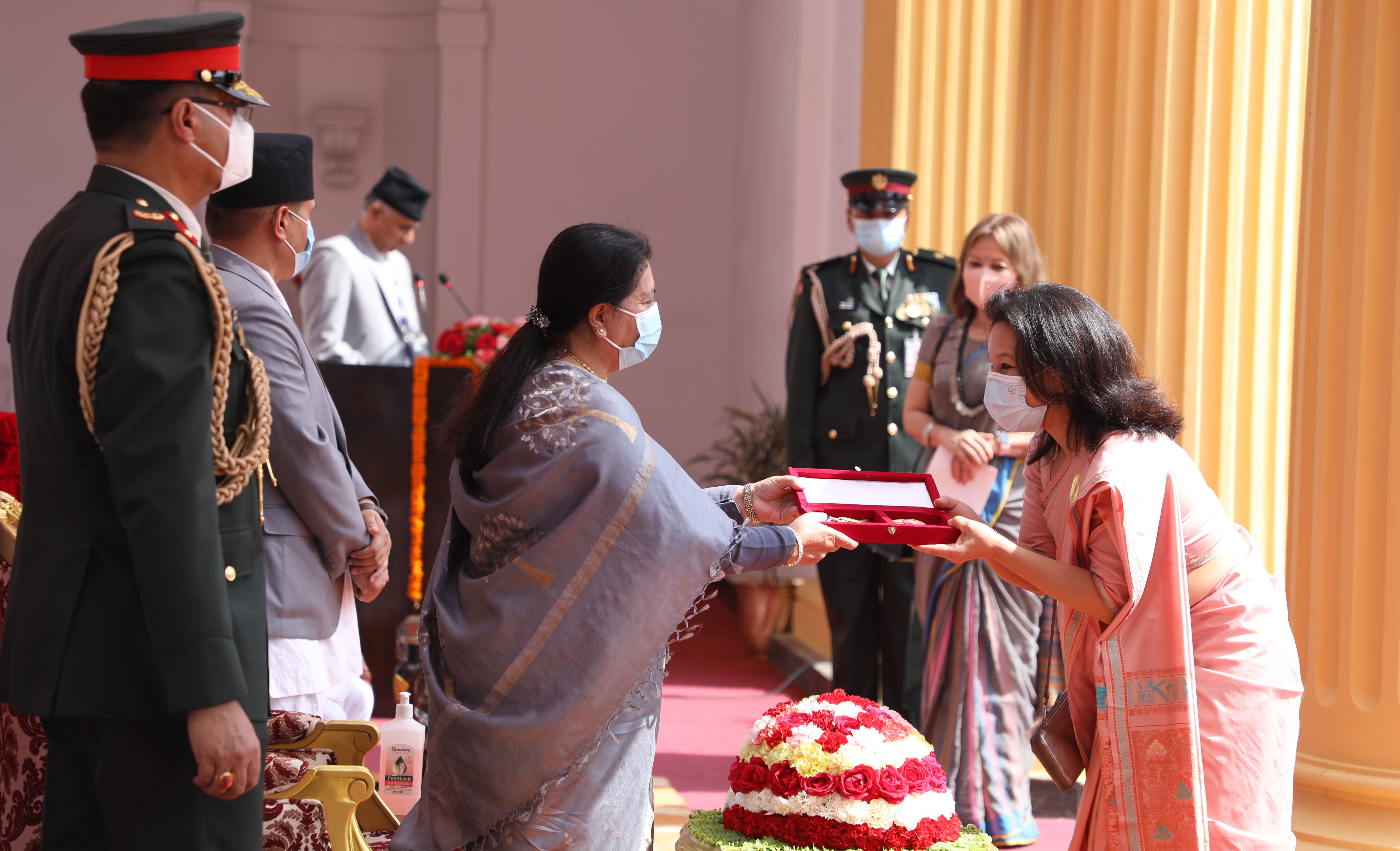
President Bhandari confers decorations (Photo Feature)
14 Apr, 2022

