Saturday, 28 September, 2024
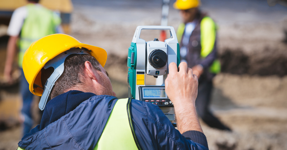
Kathmandu, June 21 : Process to collect geographical information with the adoption of LIDER technology has been forwarded. LIDER is a modern technology.
The geographical information is useful to predict and minimize the risks of flooding, landslide and earthquake. The minimization of the risks then helps conduct the development activities. The activities for this have been forwarded from the southern plains of the country- from Chitwan to Kanchanpur.
The Survey Department shared this information to the National News Agency (RSS). The project is for the development of digital elevation model and orthophoto applied with LIDAR technology.
The project to be conducted for three years has been assisted by Japan with Rs 1.32 billion. The LIDER technology is being used for the first time in Nepal.

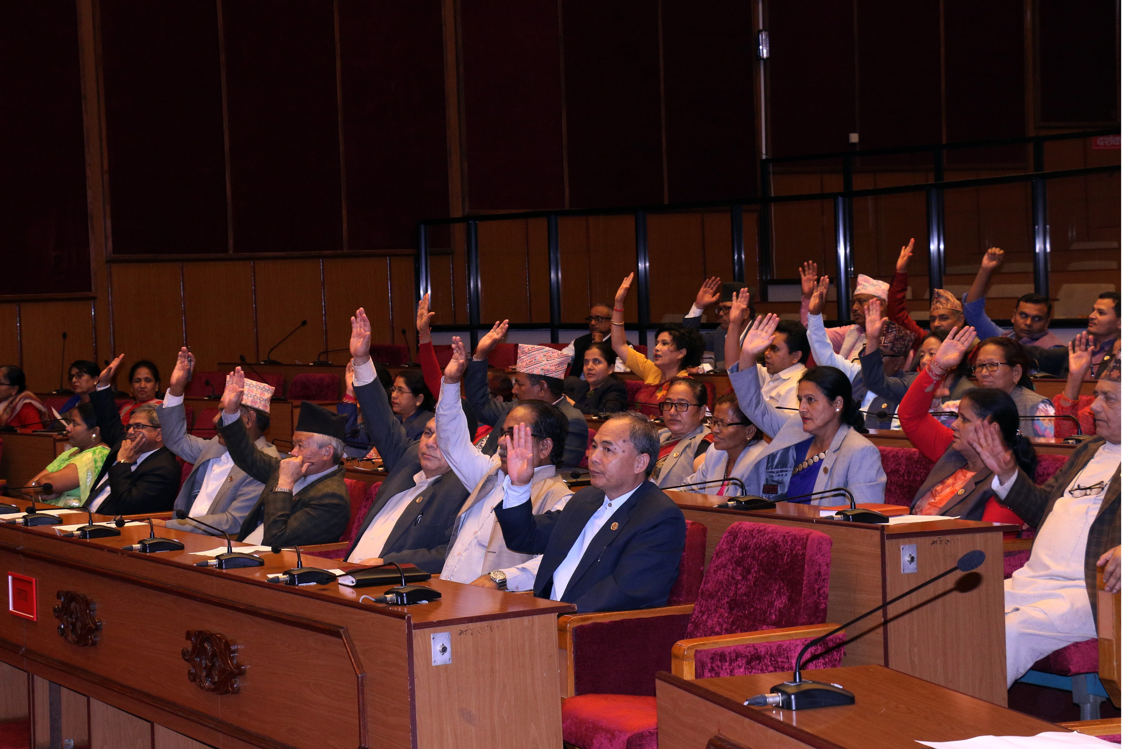
Do not make expressions casting dout on election: EC
14 Apr, 2022
CM Bhatta says may New Year 2079 BS inspire positive thinking
14 Apr, 2022
Three new cases, 44 recoveries in 24 hours
14 Apr, 2022
689 climbers of 84 teams so far acquire permits for climbing various peaks this spring season
14 Apr, 2022
How the rising cost of living crisis is impacting Nepal
14 Apr, 2022
US military confirms an interstellar meteor collided with Earth
14 Apr, 2022
Valneva Covid vaccine approved for use in UK
14 Apr, 2022
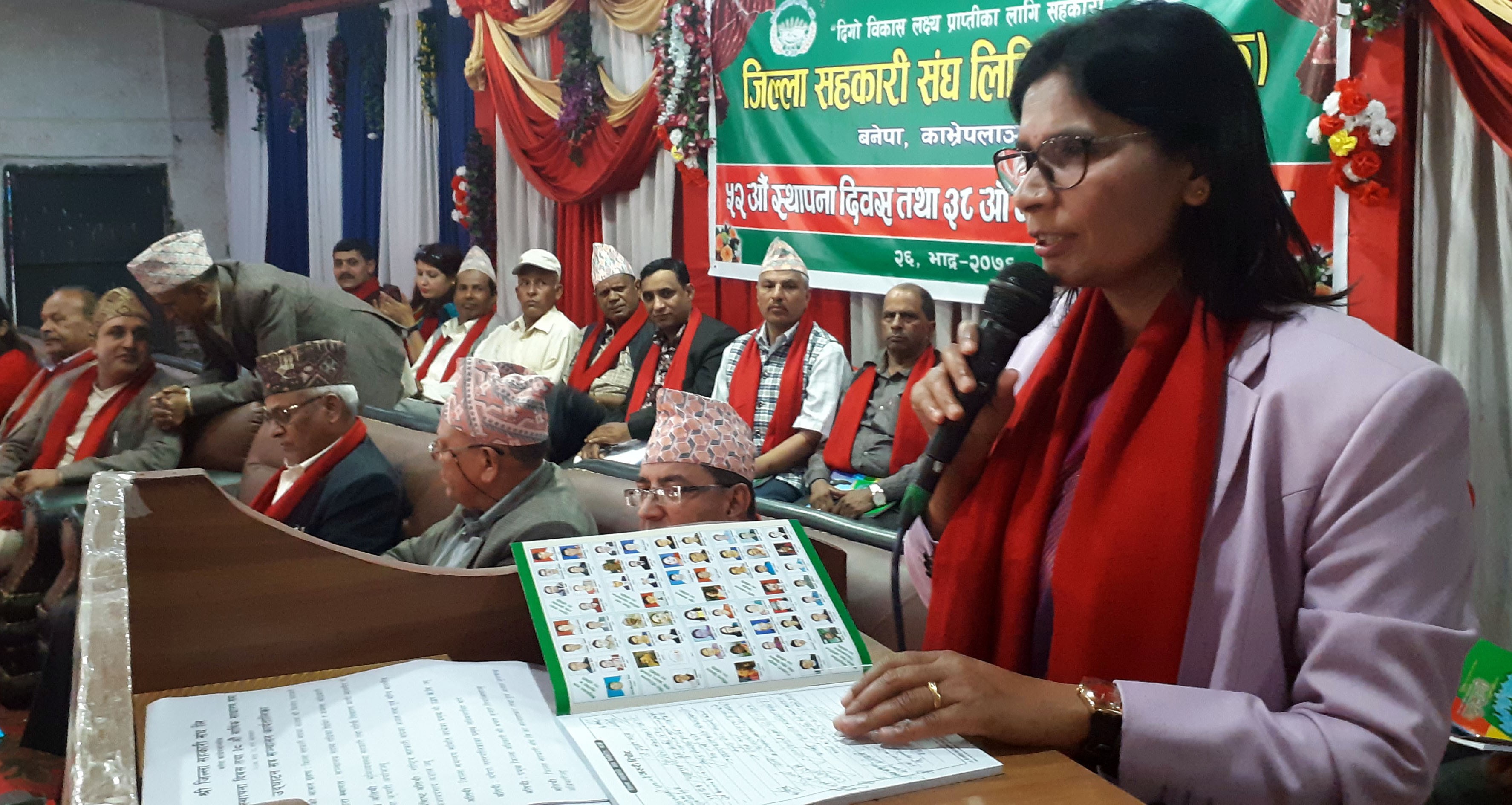
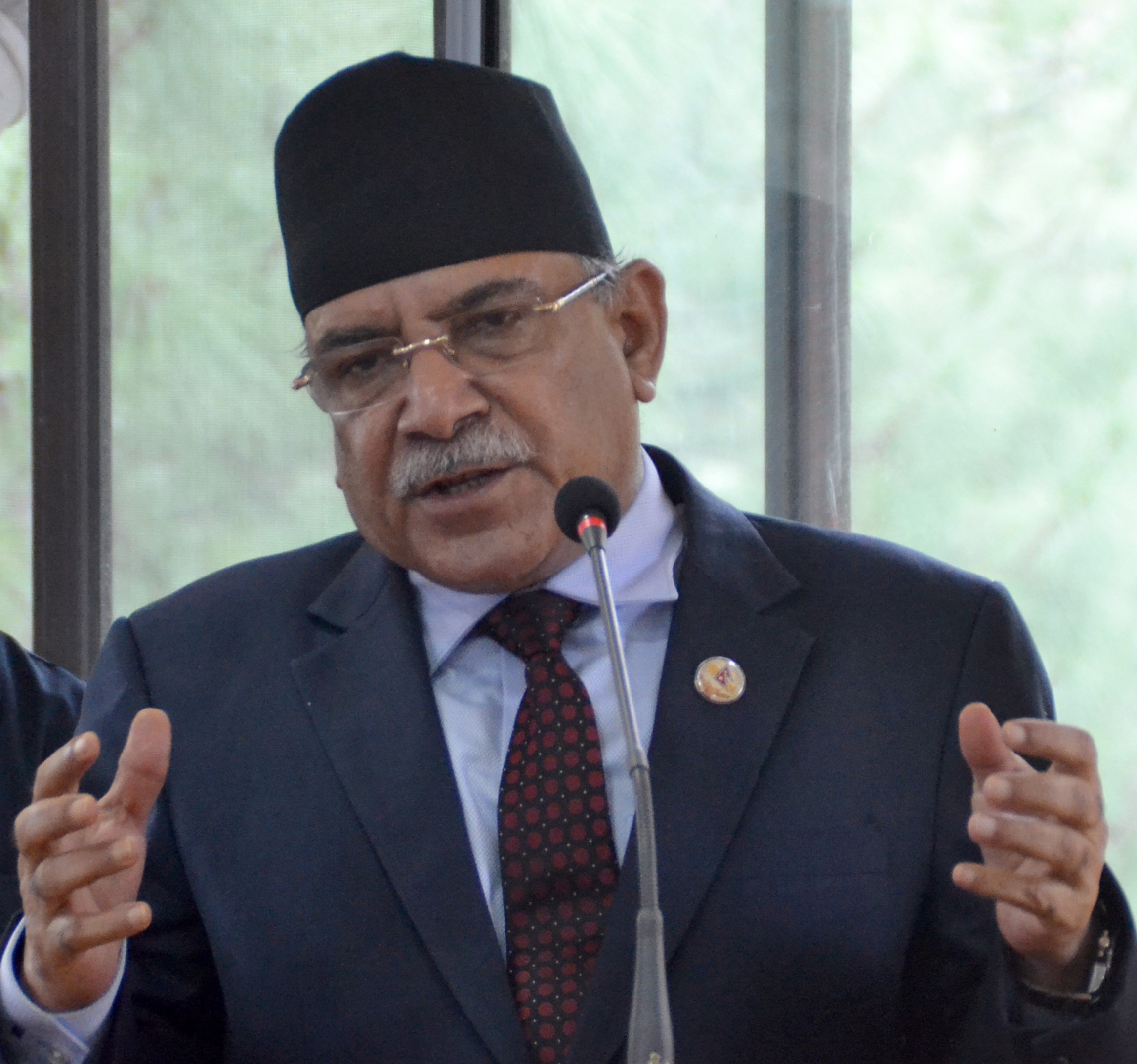
Chair Prachanda highlights need of unity among Maoist, Communist forces
14 Apr, 2022
Ranbir Kapoor and Alia Bhatt: Bollywood toasts star couple on wedding
14 Apr, 2022
President Bhandari confers decorations (Photo Feature)
14 Apr, 2022