Territorial Concerns
Nepal has vehemently asserted that Kalapani is its territory. This assertion came in the wake of the publication of an Indian map that shows Kalapani in the Indian side. Through a foreign ministry statement the other day, Nepal has said that any unilateral decision taken regarding border issues will not be acceptable. In fact decisions taken on such a sensitive issue in a unilateral manner amounts to the interference on sovereignty, territorial integrity and national independence. Serious attention of the government has been drawn into the issue after news reports were published about the Indian map that put Nepal’s Kalapani in Indian side. The government has made up its mind to proceed with diplomatic efforts and find an amicable settlement that is agreeable to both the sides.
A statement issued by the Ministry of Foreign Affairs said that the border issue should be resolved through bilateral consent. There is already a joint commission in place between Nepal and India to resolve any bilateral issue and the procedure is that border related issues are discussed and settled by foreign secretary level meetings between the two countries. The next serious task on the part of the government in this regard should be to form a taskforce of experts and technicians and gather solid evidences and historical documents to prove that this territory is Nepal’s. We have to point to the chronology of events that led to stationing of Indian troops at Kalapani and Nathu La trade deal with China. The issue should be thus tabled at the joint commission meeting for discussion and settlement.
In this regard, the government has said that this serious issue would be resolved through diplomatic efforts on the basis of historical documents and facts. As per the map lately published by India, Nepal will lose more than 350 square kilometres of its territory. The 1816 Sugauli Treaty mentions the Kali River, which originates from Limpiyadhura, is the border river. But according to the new Indian map, Kalapani to the east of the river falls within India. And India has stationed its troops at Kalapani for the past 57 years. The Lipulek issue surfaced prominently after India and China signed a trade agreement to transport goods through Nathu La and Lipulek pass in 2015. It involves the use of Nepali territory by India to conduct trade with China.
Nepal has raised a strong voice for the withdrawal of Indian troops from Kalapani. Dr. Rajan Bhattarai, foreign affairs advisor to Prime Minister KP Sharma Oli, said that the government wants the Indian troops to back off from Kalapani, the area which is under Indian occupation since 1962. Protests have been reported in different parts of the country against the Indian map. The main opposition party Nepali Congress has expressed concerns over the distorted Indian map. NC has said that Kalapani and Lipulek are part of Nepal and any infringement on Nepali soil is unacceptable. Sajha Party has also joined in the protest. The party said that the Indian map is an infringement on Nepal’s sovereignty and territorial integrity.
Recent News
Do not make expressions casting dout on election: EC
14 Apr, 2022
CM Bhatta says may New Year 2079 BS inspire positive thinking
14 Apr, 2022
Three new cases, 44 recoveries in 24 hours
14 Apr, 2022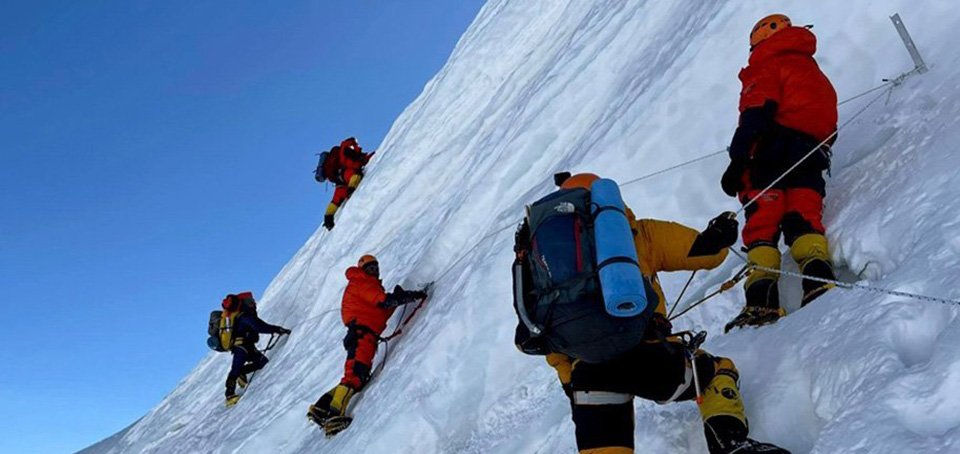
689 climbers of 84 teams so far acquire permits for climbing various peaks this spring season
14 Apr, 2022
How the rising cost of living crisis is impacting Nepal
14 Apr, 2022
US military confirms an interstellar meteor collided with Earth
14 Apr, 2022
Valneva Covid vaccine approved for use in UK
14 Apr, 2022
Chair Prachanda highlights need of unity among Maoist, Communist forces
14 Apr, 2022
Ranbir Kapoor and Alia Bhatt: Bollywood toasts star couple on wedding
14 Apr, 2022
President Bhandari confers decorations (Photo Feature)
14 Apr, 2022

