Resolve Border Issue
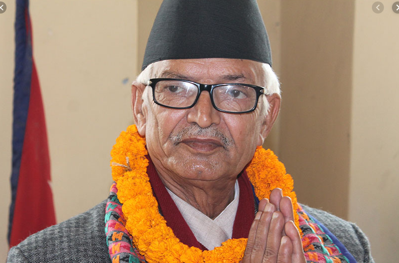
That Kalapani is Nepali territory, is not a farfetched claim. Former prime minister and senior leader of the ruling Nepal Communist Party Jhala Nath Khanal has asserted that the Sugauli treaty of 1816 is only the authentic historical evidence of the international boundary between Nepal and India, and this document clearly states that the Mahakali river originating from Limpiadhura is the border river. Thus, Kalapani and Lipulek, that lie to the east of this river are in Nepal. The trilateral point between Nepal, India and China is at Limpiadhura, not at Lipulek. And the trade agreement on Lipulek between India and China is not acceptable to Nepal, Khanal has said.
The recent political map published by India places Kalapani in its territory and this erroneous document has hurt the nationalist sentiments of the Nepali people. The government, political parties and the people in general have stood in unity to vehemently protest this infringement. The Sugauli treaty unambiguously places Kalapani in Nepal as the origin of the border river has been clearly stated to be at Limpiadhura. According to Khanal, hydrological basis also supports this fact. This river is the longest among the tributaries and has the largest volume of water. In addition, it covers the widest catchment area. India has assumed a minor tributary that lies farther east from Lipulek as the border river which is unacceptable, Khanal asserted.
Historical treaty, maps, census conducted by Nepal in Kalapani and the land revenue receipts are the evidences that Nepal can furnish to reject any infringement on its international boundaries. About the new political map, India has said that it has given continuity to the old boundary line between Nepal and India and has not made changes. However, shifting of the border line towards east becomes evident if we read the border river definition mentioned in the Sugauli treaty. India has ignored the main Kali river originating from Limpiadhura and unilaterally assumed a lesser tributary as the border river. With this border shift Nepal will have to lose over 350 square kilometres of its territory.
However, Khanal optimistically said that this border debate provides an opportunity to discuss and settle the issue amicably. He accepts that there were delays to resolve this issue in the past but now there is unprecedented opportunity because there is political stability and national unity. The main opposition party Nepali Congress has thrown its support behind the government and other political parties have also joined. Strong governments both in Nepal and India are also an opportune time, according to Khanal, because such governments can take important decisions with parliamentary endorsement.
In this regard, the government should come up with a clear position regarding the border issue with India. It should do ample homework to gather solid evidences. By holding an all-stakeholder meeting, it has made a good beginning. The government should take necessary measures to strengthen the security of the country’s international borders. Application of advanced technology to set and maintain international border is desirable because it does not allow any manipulation.
Recent News
Do not make expressions casting dout on election: EC
14 Apr, 2022
CM Bhatta says may New Year 2079 BS inspire positive thinking
14 Apr, 2022
Three new cases, 44 recoveries in 24 hours
14 Apr, 2022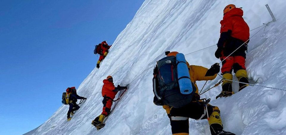
689 climbers of 84 teams so far acquire permits for climbing various peaks this spring season
14 Apr, 2022
How the rising cost of living crisis is impacting Nepal
14 Apr, 2022
US military confirms an interstellar meteor collided with Earth
14 Apr, 2022
Valneva Covid vaccine approved for use in UK
14 Apr, 2022
Chair Prachanda highlights need of unity among Maoist, Communist forces
14 Apr, 2022
Ranbir Kapoor and Alia Bhatt: Bollywood toasts star couple on wedding
14 Apr, 2022
President Bhandari confers decorations (Photo Feature)
14 Apr, 2022

